
Leading with Geospatial Intelligence with Dr. The Most Hon. Andrew Holness, ON, PC, MP
· 21 min · Season 2 Episode 1
Show notes
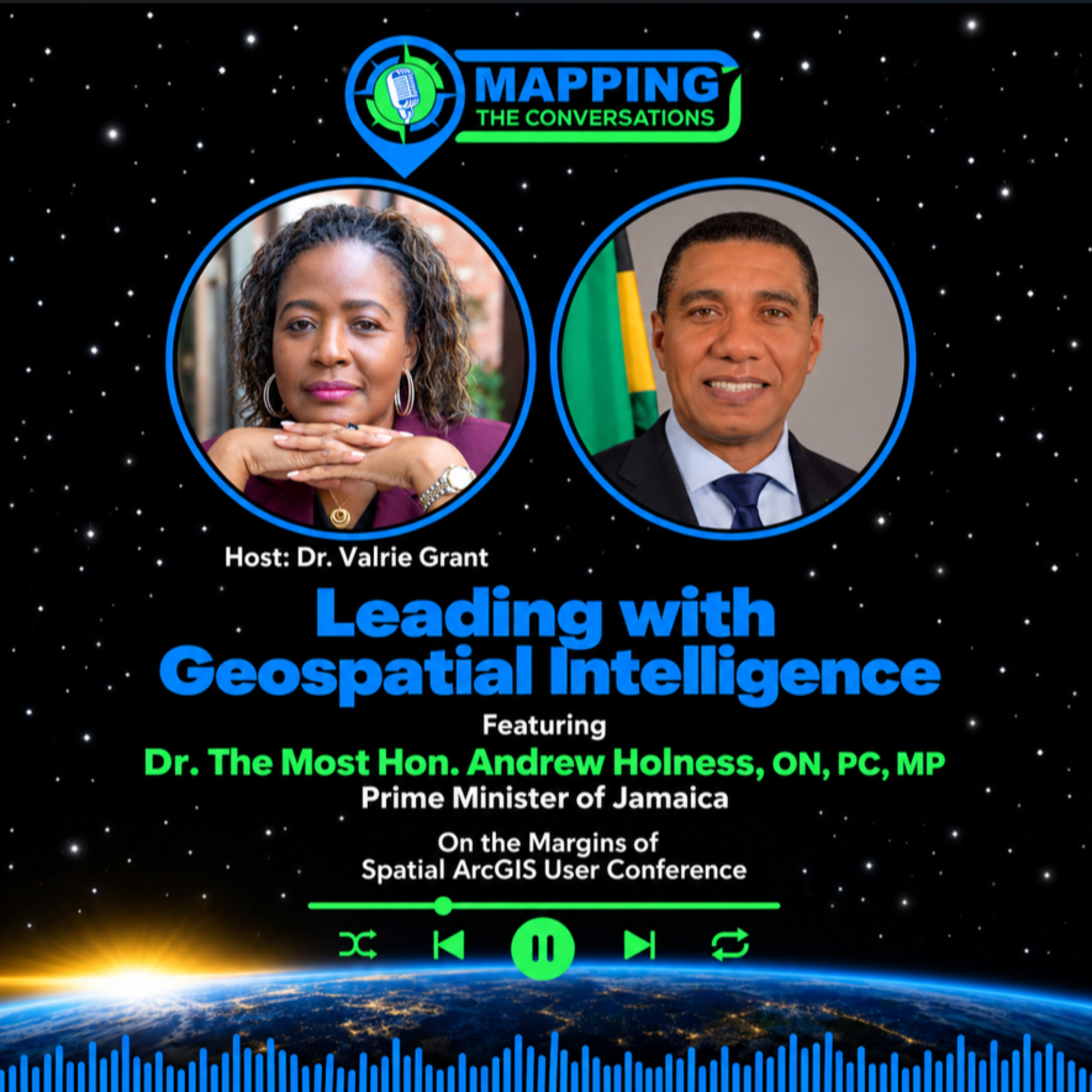
How does a national leader use geography to make betterdecisions and what changes when a country begins to see itself as a big ocean state?
In this episode of Mapping the Conversations, host Dr. Valrie Grant sat down with Dr. the Most Honourable Andrew Holness, Prime Minister of Jamaica, on the margins of the Spatial ArcGIS User Conference in Kingston, Jamaica. Together, they explore how geospatialintelligence can shape national leadership, strengthen communities and reveal opportunities across Jamaica’s land and sea.
The Prime Minister shares why maps have become an important part of how he…
Website: podcasters.spotify.com


