
Show notes
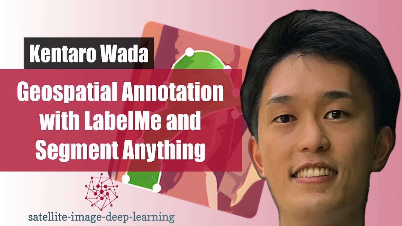
In this episode I sat down with Kentaro Wada, a computer vision engineer at Mujin and creator of LabelMe, to explore the evolution of image annotation workflows. We discuss how his need to label data for a robotics challenge led to building one of the most widely used open-source annotation tools, and how it has evolved alongside the shift from traditional computer vision to deep learning. Kentaro explains the impact of foundation models like Segment Anything (SAM), and how annotation is rapidly moving toward a prompt-and-verify paradigm where models do the heavy lifting and humans focus on…
Website: satellite-image-deep-learning.com
